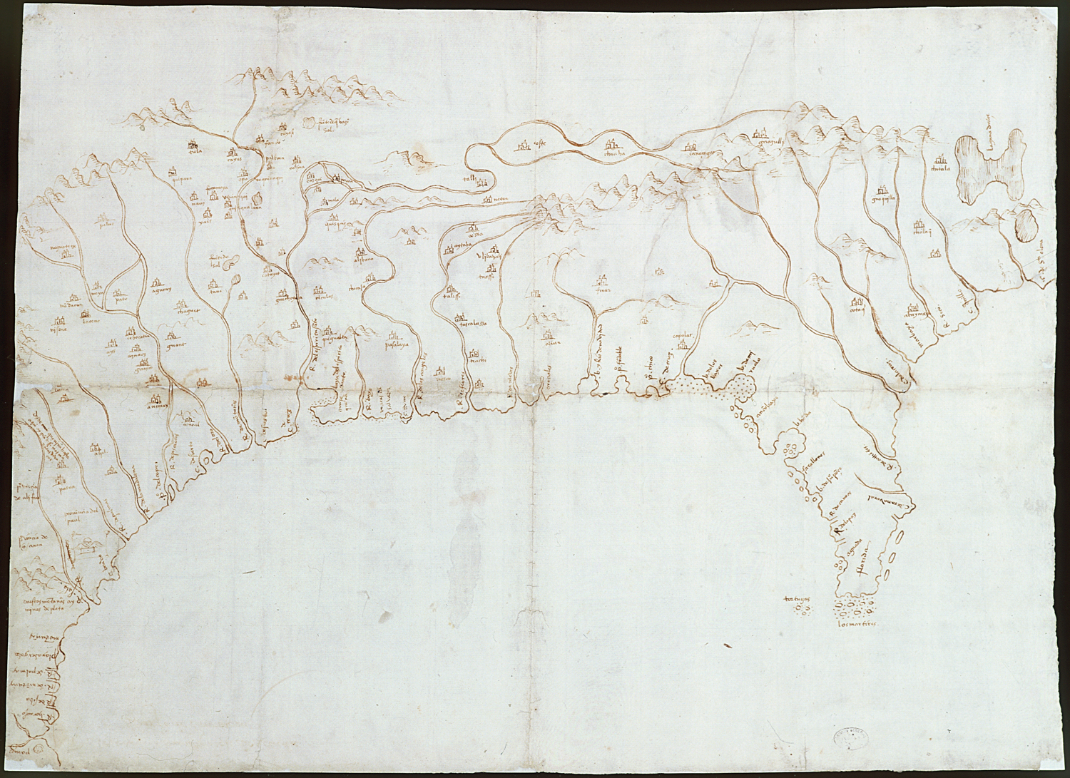
Title: Map of the Mississippi Valley, 1544
This map illustrates the gulf and coast of New Spain from the Pánuco River to the Cape of Santa Elena.
Manuscript, drawing in sepia ink, paper
Sevilla. Archivo General de Indias. MP-México, 1.
Credit:
Copyright: © This image must include credit line and copyright statement.
Tags:
